Drone Applications
Get a Quote For Your Project
How it Works
We have advanced industry grade drones equipped with high resolution cameras and advanced sensors .these drones when connected with dgps Gives raw data .on processing this data following types of deliverables are obtained
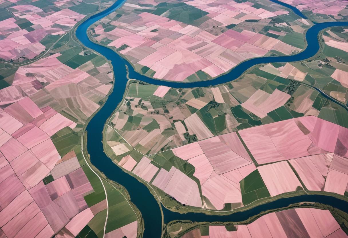
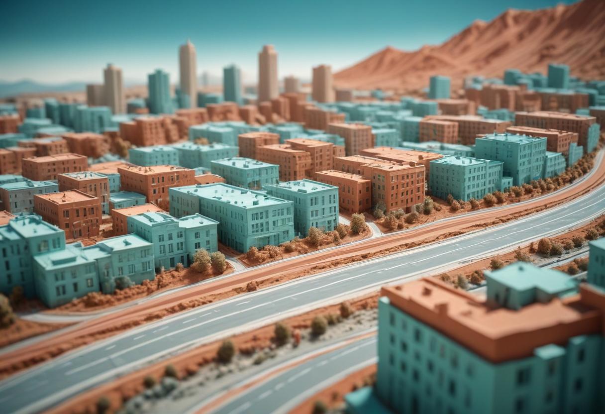
Orthomosaic Maps
High-resolution aerial images stitched together to create a detailed, accurate map of the area.
2D and 3D Point Clouds
Collections of data points in a coordinate
system that represent the external surface of an object or area.
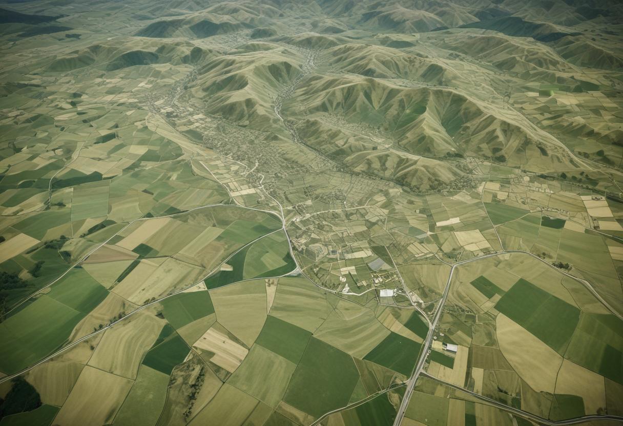
Digital Surface Models (DSMs)
Using DGPS and drones, we gather detailed data about an area,
including features like houses, electric poles, railway lines, trees, and
government buildings.
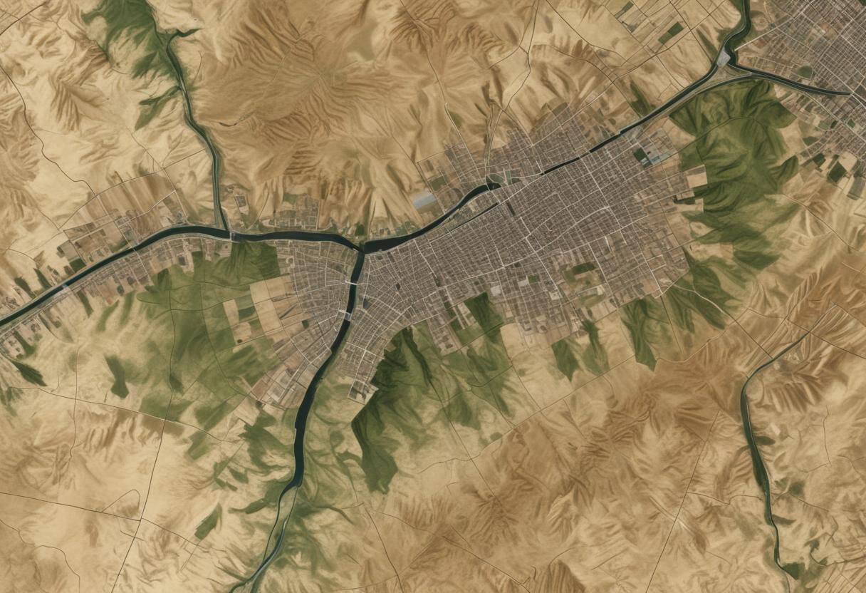
Digital Terrain Models (DTMs)
Models representing the bare earth
surface without any objects like buildings or vegetation.
Digital Elevation Models (DEMs)
Elevation data of the terrain used for
various analyses.
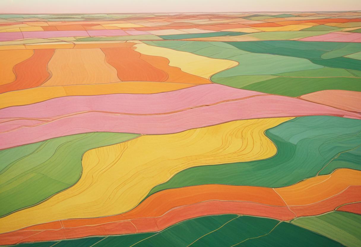
Contour Maps
Maps with contour lines that show elevation and the shape of the terrain
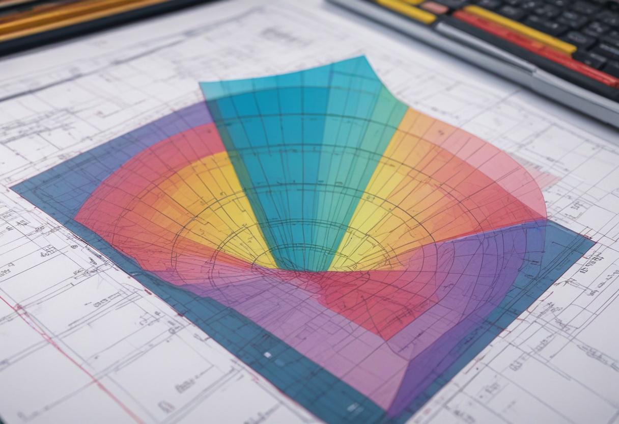
Contour Survey Files in AutoCAD DWG Format
Digital files containing contour information that can be used in AutoCAD software.
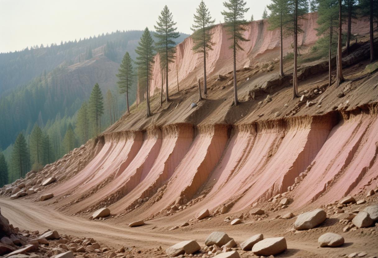
Cross Section and Long Section of Land Profiles
Detailed profiles showing vertical sections of the land, useful for understanding the terrain and planning construction projects.
Volumetric Measurements
Calculations of volumes, which can be used
for tasks like estimating the amount of material to be moved or the capacity
of a storage area.
Other Applications of Drone Technology
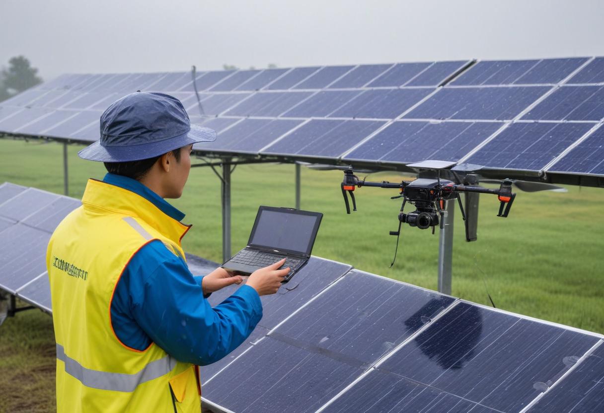
Solar Panel Inspection
Using drones equipped with high resolution and thermal cameras to detect defects, cracks, and hot spots in solar panels.
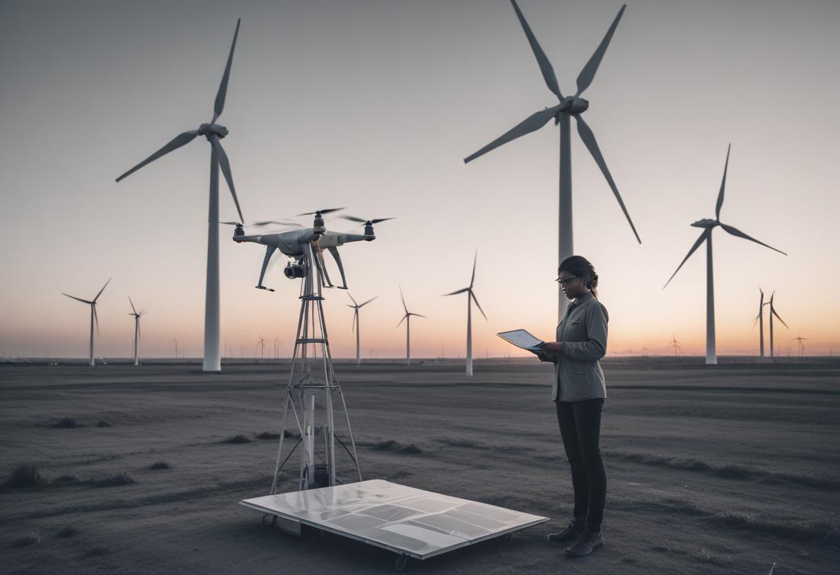
Wind Turbine Inspections
Drones help in finding damages and defects in wind turbines, creating detailed 3D models to highlight any issues.
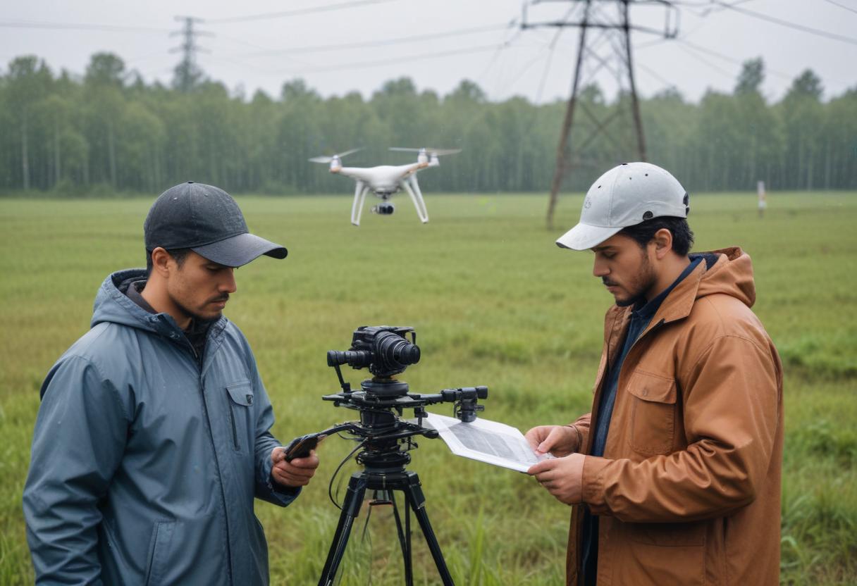
Power Line Inspection
Drones with high-resolution cameras capture detailed images of power lines to identify erosion, cracks, and other wear and tear. Thermal cameras can also detect malfunctions.
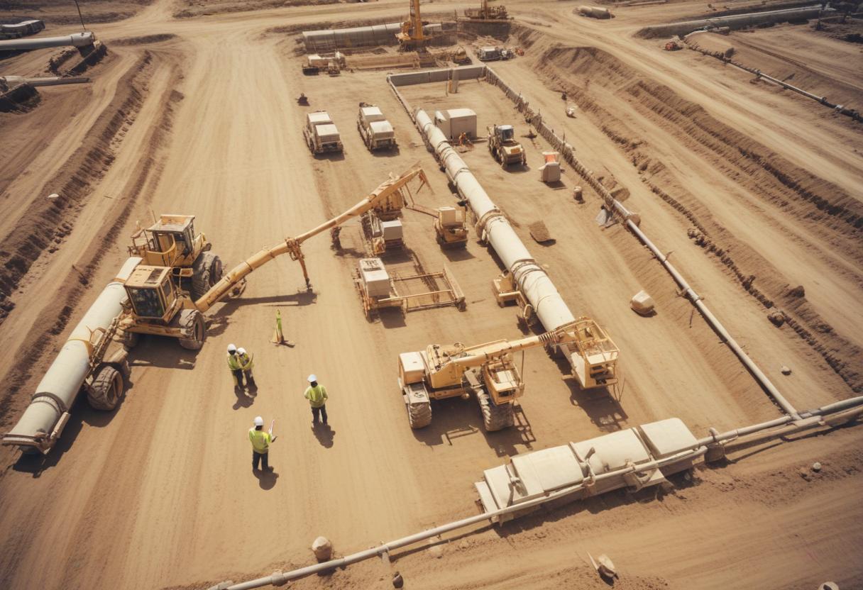
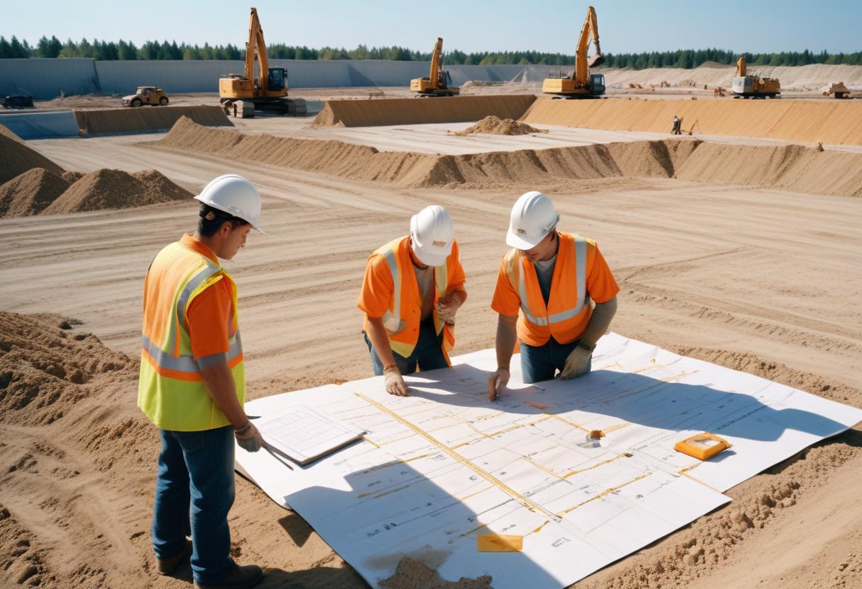
Road, Pipeline, and Infrastructure Project Progress Monitoring
Using drones to collect data and monitor the progress of various construction and infrastructure projects.
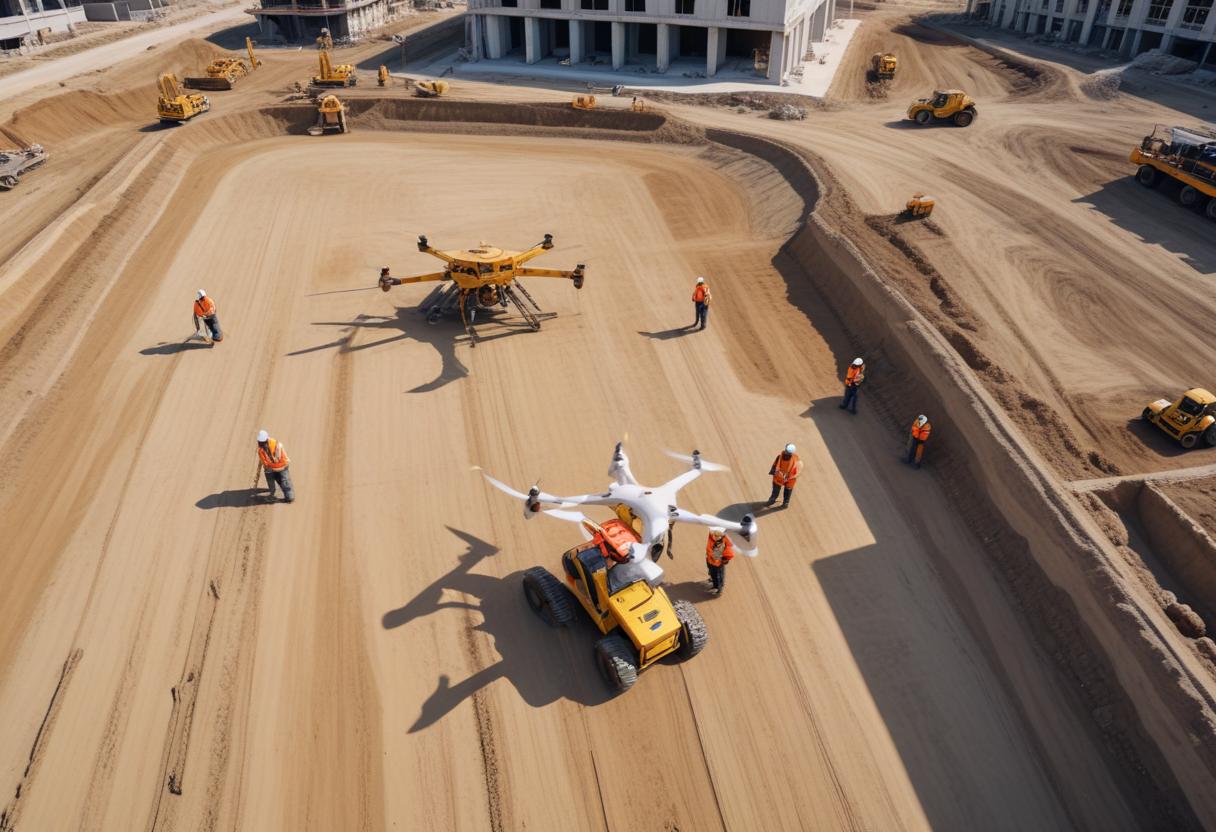
Aerial Surveying
Capturing detailed images and data from above with high-resolution cameras & processing it to extract useful informations n required formats .
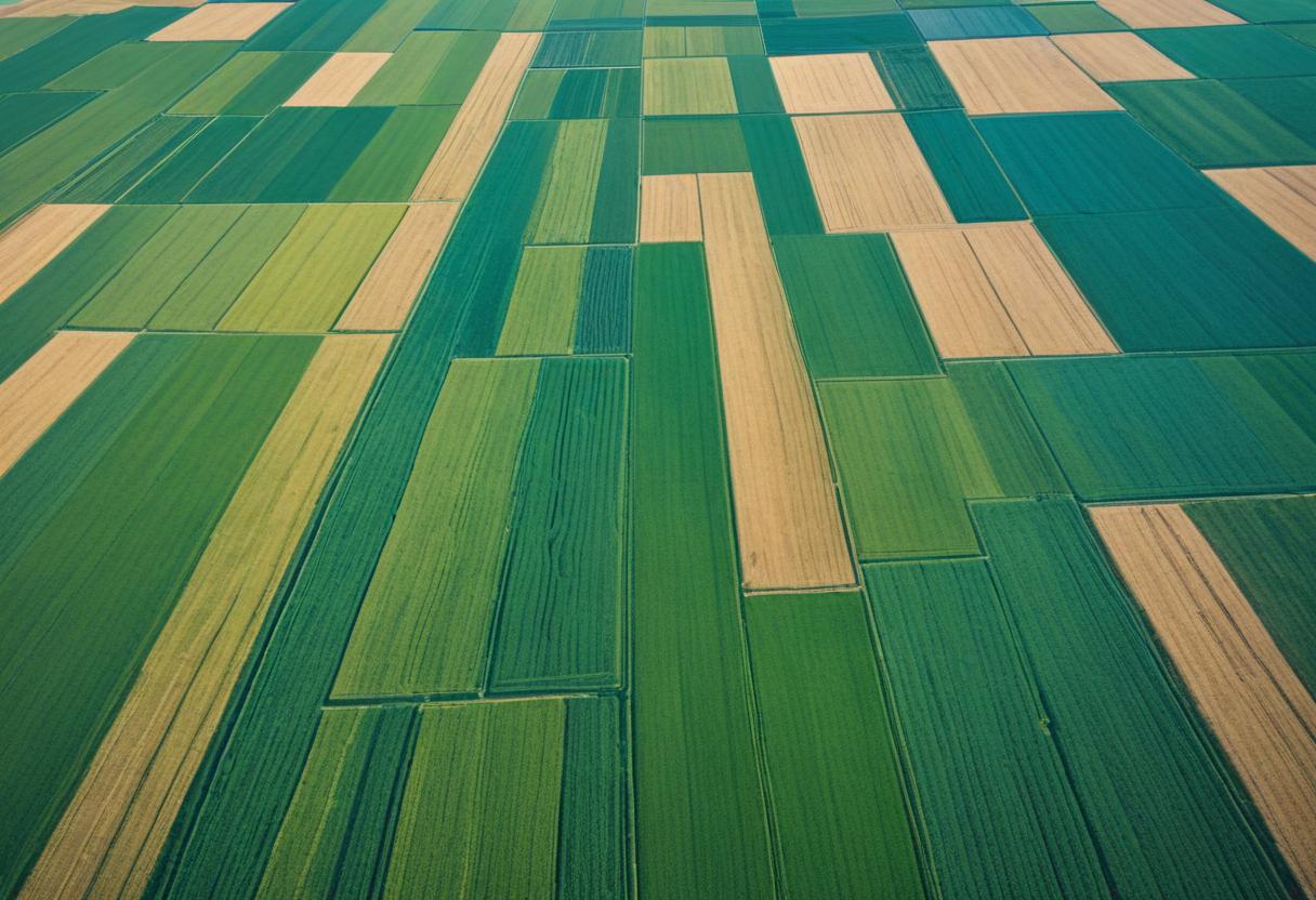
Agricultural Monitoring
Monitoring crop health, irrigation needs, and pest management through aerial imagery.
Contact Us
Address
FL NO-4, JEEVAN SADHANA, ROSHAN SOC, AURANGABAD- 431001, MAHARASHTRA, INDIA
info@byten.in
Phone
(255) 352-6258