GIS Technology
Get a Quote For Your Project
How it Works
Geographic Information Systems (GIS) and Remote Sensing work together to collect and analyze spatial data. GIS manages and analyzes data through mapping, while Remote Sensing gathers information about the Earth’s surface using satellite or aerial sensors. Together, they provide powerful tools for visualizing and understanding geographic patterns and changes, aiding decision-making in fields like urban planning and environmental management.

Spatial Data Analysis
Using GIS to analyze and create detailed maps.
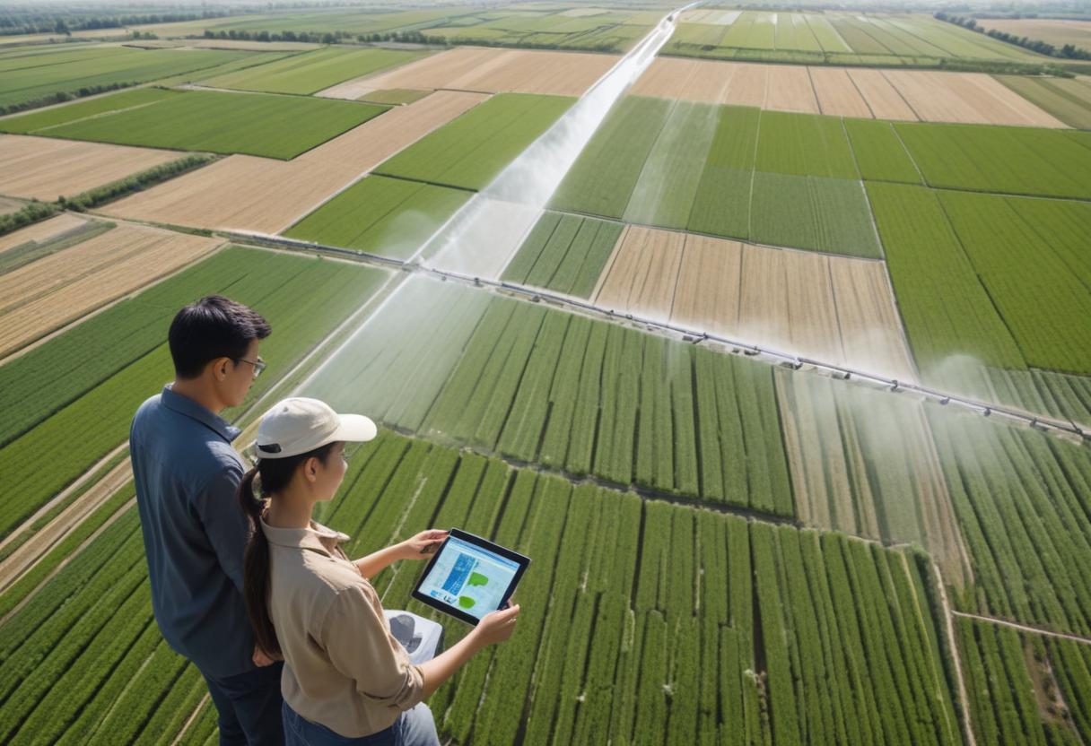
Remote Sensing
Collecting data from satellites and aerial sensors to monitor environmental and land-use changes.
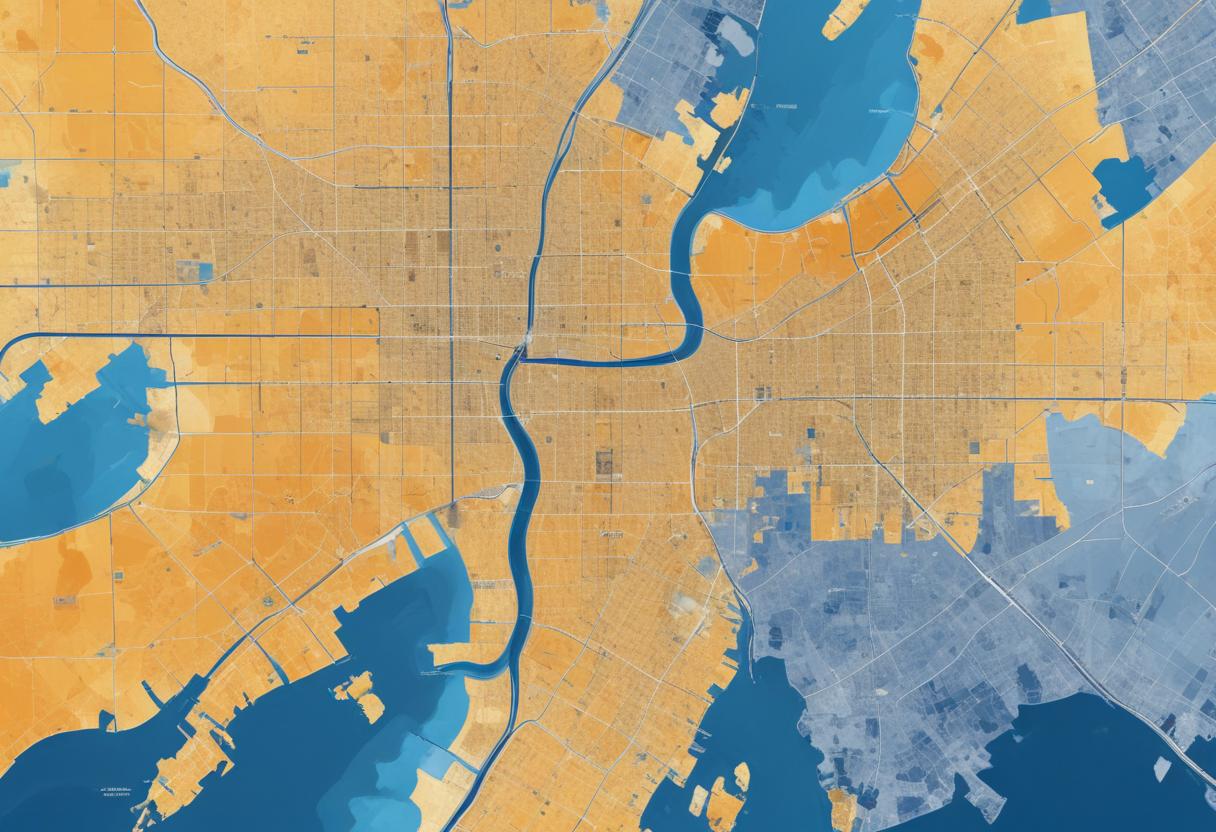
Land Use Mapping
Creating maps for urban planning, agriculture, and environmental management.
Digital Surface Models (DSMs)
Using DGPS and drones, we gather detailed data about an area,
including features like houses, electric poles, railway lines, trees, and
government buildings.
Contact Us
Address
FL NO-4, JEEVAN SADHANA, ROSHAN SOC, AURANGABAD- 431001, MAHARASHTRA, INDIA
info@byten.in
Phone
(255) 352-6258