Land survey GIS
Get a Quote For Your Project
How it Works
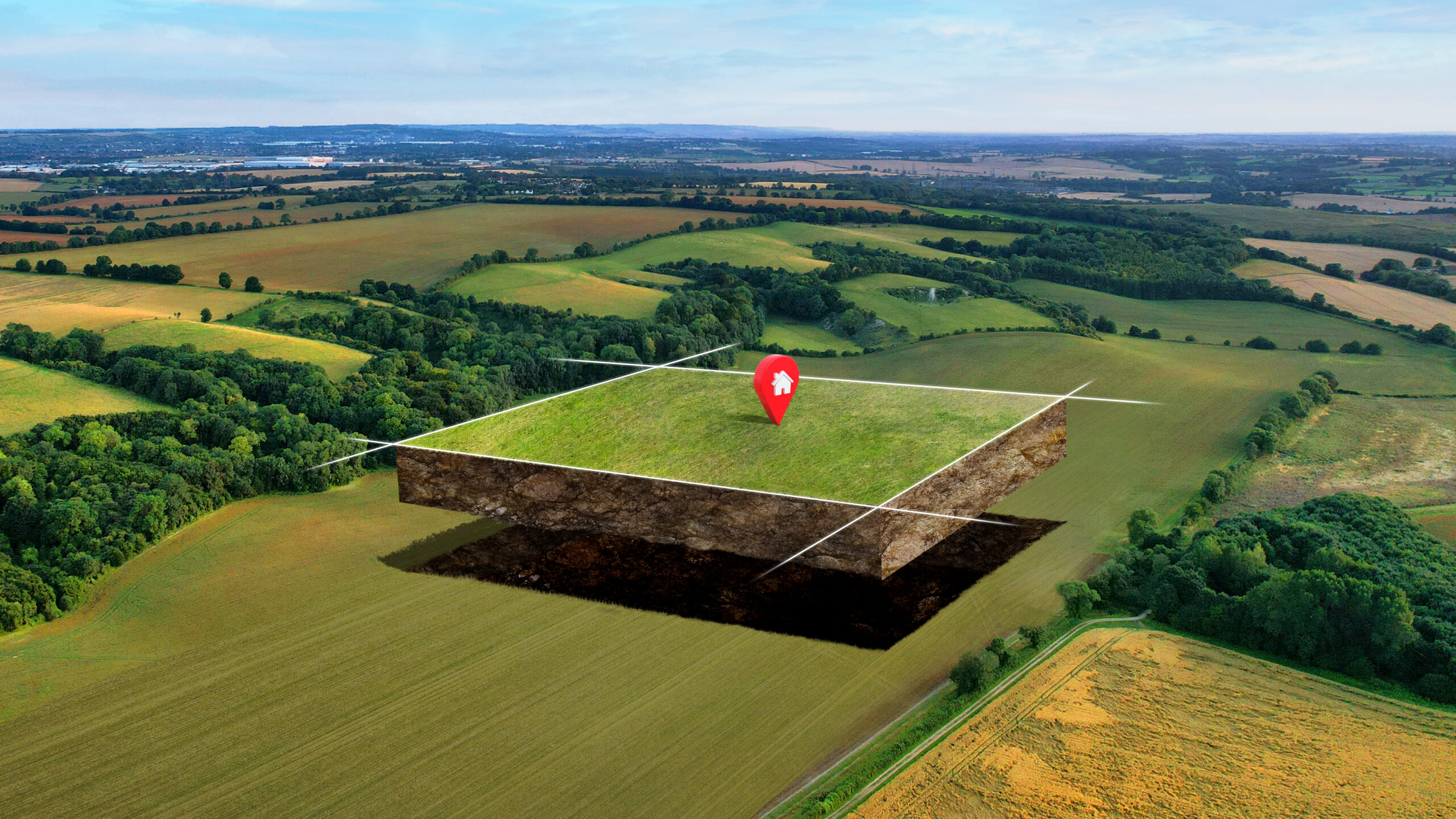
GIS with land surveying integrates land surveying with advanced geospatial technology to produce detailed maps and models of land. Surveyors use GPS, Total stations, and aerial imagery to collect precise data points defining features and the boundaries of the land. Then, the information is put through a GIS software that, through the layering of spatial information, is compiled into a visual representation on one page. These maps can be used for various purposes, ranging from urban planning to property and environmental management. These professionals combine traditional surveying techniques with modern GIS, allowing them to go even further in the precision and efficiency with which they map and manage land resources.
Boundary Surveys
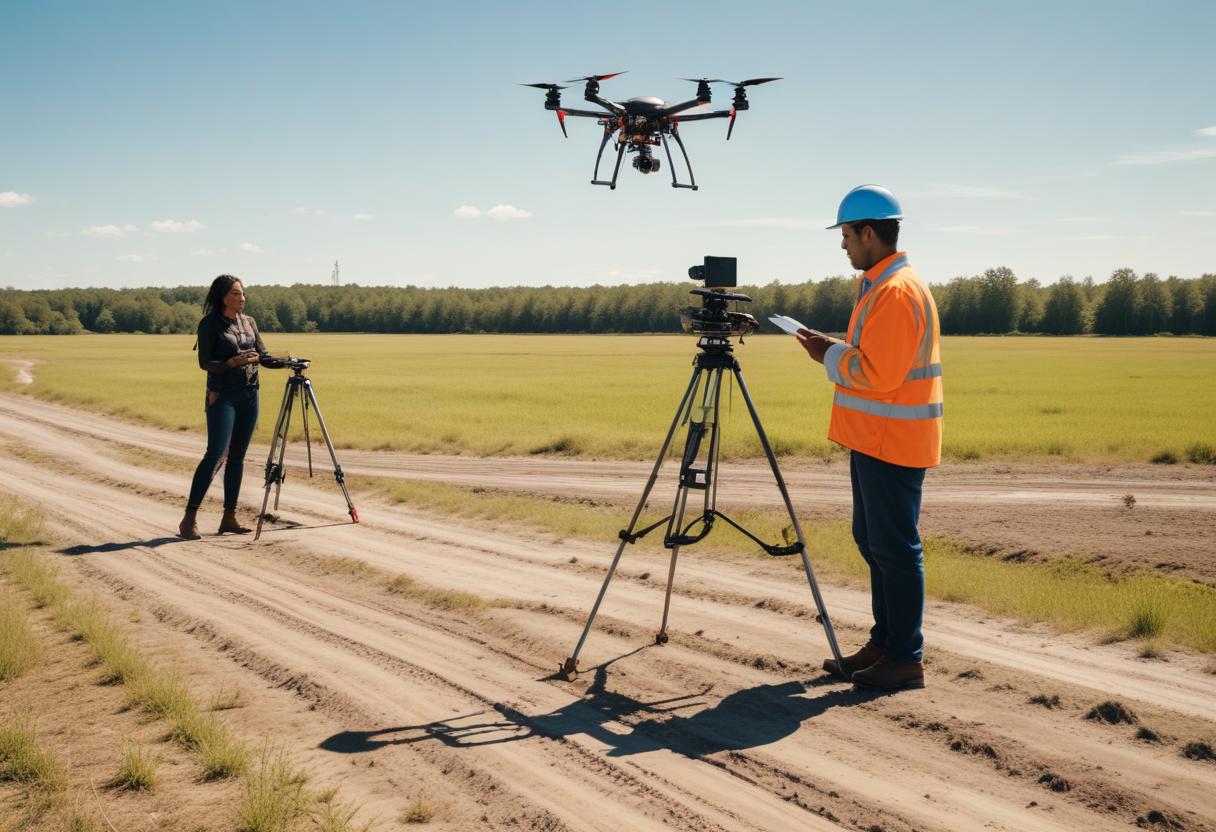
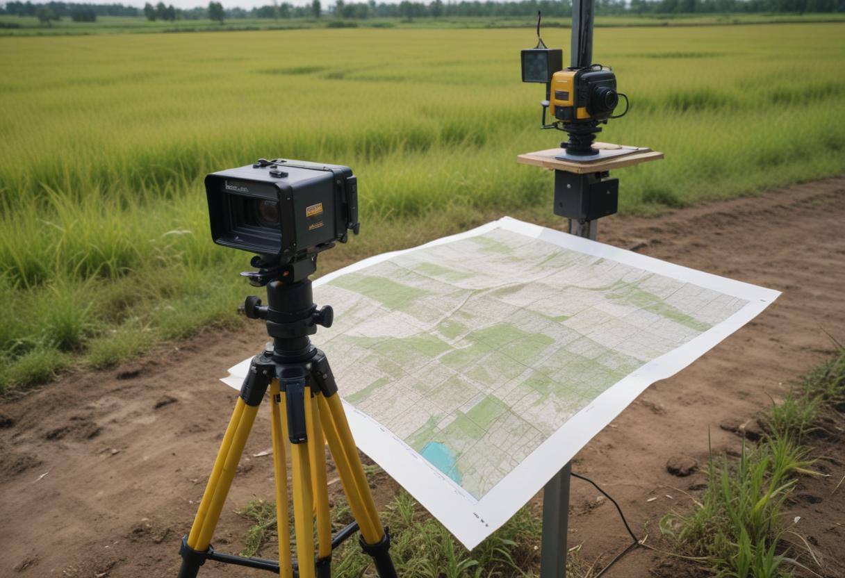
DGPS (Differential Global Positioning System) Technology:
- A highly accurate GPS system used to measure and map large areas of
land precisely.
- Helps in creating maps and measuring land boundaries accurately.

Boundary Surveys
DGPS enables precise delineation of property boundaries by providing
accurate coordinates of survey points.
Boundary Surveys
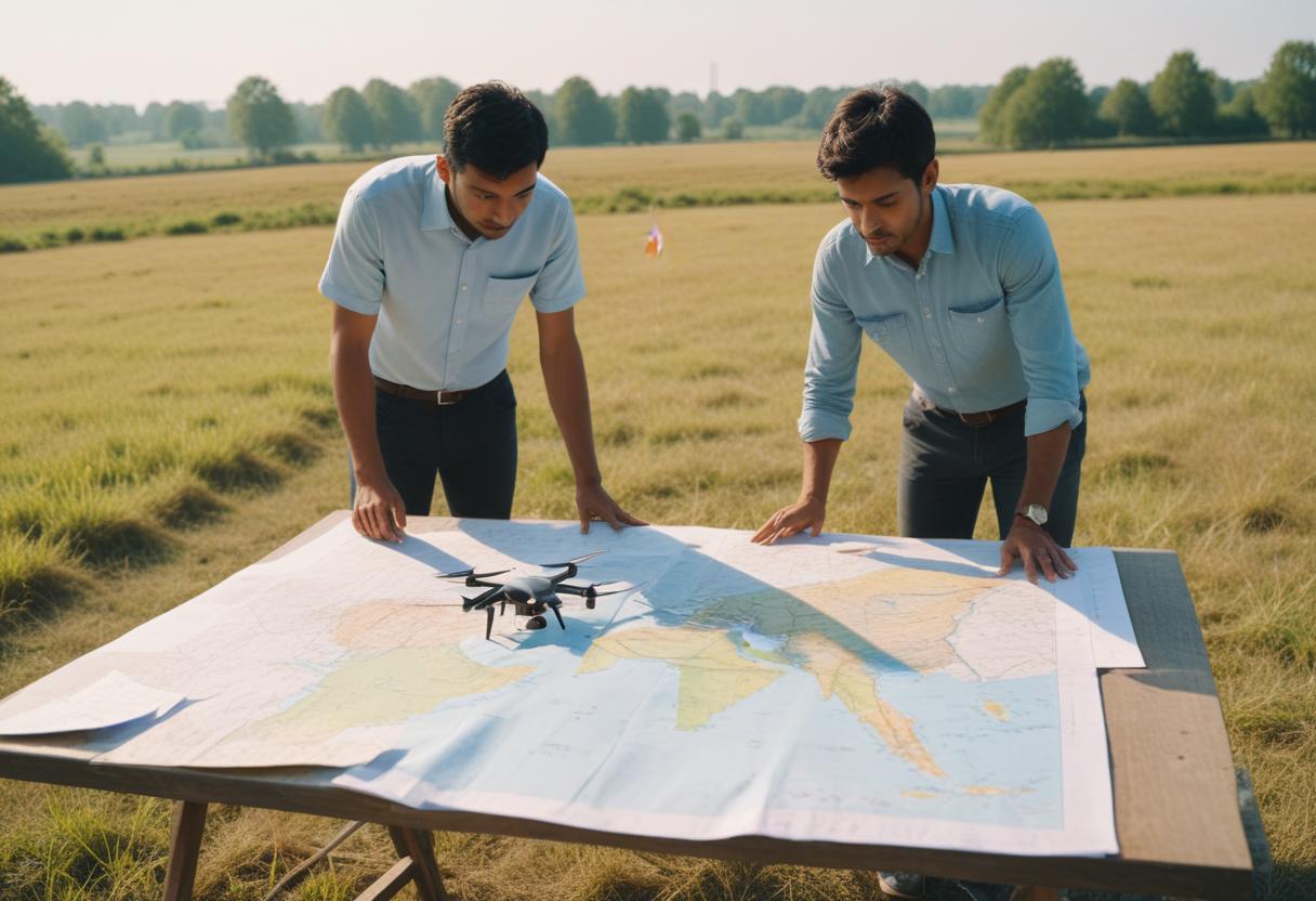
Using DGPS and drones, we gather detailed data about an area,
including features like houses, electric poles, railway lines, trees, and
government buildings.

Contour Surveys
- Conducted to study the levels and slopes of the land, using DGPS and
drones to create detailed models of the terrain.
-By using this survey method we can obtain Digital Elevation Model (DEM)
And Digital Surface Models (DSM).
Route Surveys
- Surveys for planning and monitoring the routes of pipelines, high-tension
power lines, roads, etc.,
-These are done using DGPS, Drones, and Total Station (a precise
surveying instrument).
Cadastral Surveys
DGPS along with drones &GIS Technology facilities cadastral mapping and
maintenance of village Maps this method is used for Land management
Urban planning and Tap assessment.
Partition surveys
We can conduct partition survey of land parcel by using dgps this
technology reduces time to do survey and it is more precise
Contact Us
Address
FL NO-4, JEEVAN SADHANA, ROSHAN SOC, AURANGABAD- 431001, MAHARASHTRA, INDIA
info@byten.in
Phone
(255) 352-6258